
Tropical Low: Two Systems Pose Potential Threats to Western and Northern Australian Coasts
Weather Update: 5:17 PM Monday, March 11, 2024 Australian Western Standard Time (AWST)
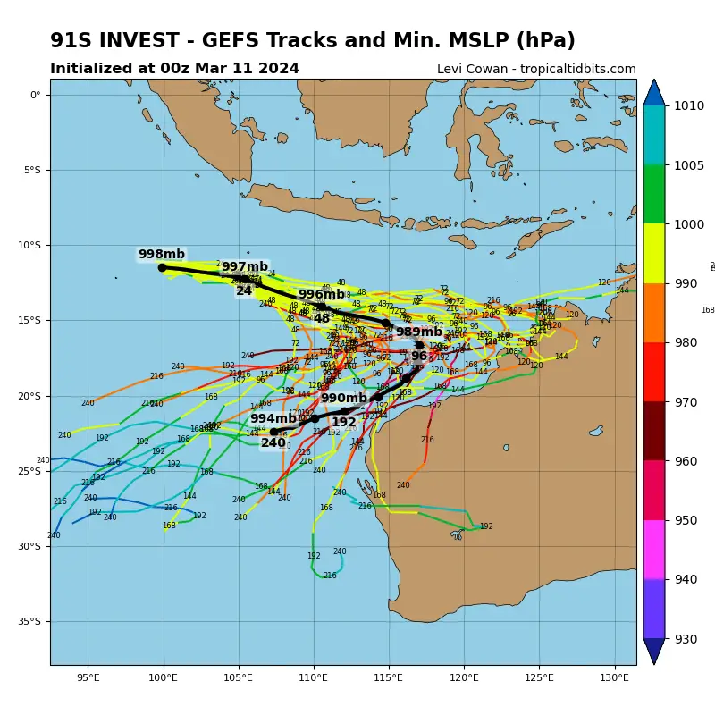
As the tropics stir with activity, two Tropical Low Pressure systems, 08U and 09U, are capturing meteorologists’ attention. These disturbances, situated in different regions of the Indian Ocean, could potentially develop into tropical cyclones.
Additionally, They are posing threats to Northern and Western Australian coastal areas. Here’s an overview of their current trajectories and potential impacts:
Tropical Low 08U: May Develop into a Tropical Cyclone by Thursday into Friday
Located west-southwest of Christmas Island, Tropical Low 08U is forecasted to intensify later this week. It may potentially evolve into a Tropical Cyclone. There is a high risk of development on Thursday into Friday. So, residents in the region are advised to stay vigilant.
Generally, The system is tracking eastwards, accompanied by a strengthening monsoon to its north. While it is expected to pass south of Christmas Island on Tuesday, the developing monsoon could still bring increased winds to the area.
As the week progresses, 08U is projected to veer southward. It may stay offshore of the Western Australian mainland. However, there remains a risk of cyclone impact to the Pilbara or west Kimberley coast by late Friday.
Tropical Low 09U: Low Risk of Cyclone Formation
Meanwhile, Tropical Low 09U presents a lower risk of tropical cyclone formation. It may primarily affect the Timor Sea and Gulf of Carpentaria. This disturbance may materialize northwest of the Kimberley region, potentially moving southeastward.
By Wednesday or Thursday, it could make landfall either along the north Kimberley or western Top End coast as a Tropical Low.
Comparatively, The likelihood of it developing into a Tropical Cyclone before reaching the coast is currently low. Over the weekend, the system may traverse the Gulf of Carpentaria waters, posing another low risk of cyclone development.
Potential Impacts by Twin System Over AU Coast
Both Low-pressure systems have the potential to bring adverse weather conditions to their respective regions. Residents along the Pilbara, west Kimberley coast, and areas near Christmas Island should closely monitor the progress of Low 08U.
Basically, Strong winds, heavy rainfall, and rough seas could accompany its passage. It may require preparedness measures. Similarly, communities in the north Kimberley and western Top End coast should stay alert for updates regarding Low 09U. Because, it could bring heavy rain and inclement weather upon landfall.
Read More:
Melbourne Weather: Rain May Return to Melbourne, Australia by Middle of the Next Week
What to do to remain safe?
As Low 08U and 09U looming in the Indian Ocean, authorities and residents alike must remain vigilant and prepared for any eventualities. Regular updates from meteorological agencies are crucial in staying informed about the developments of these systems and taking appropriate precautions to ensure the safety of coastal communities.
If You are in an old update, Check new updates here (Click Me)
Advertisements


